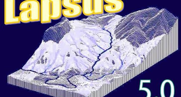
LAPSUS LandscApe ProcesS modelling at mUlti-dimensions and Scales
LAPSUS is a multi-module dynamic landscape evolution model. Studied processes include overland erosion, landsliding, tillage erosion and tectonics. For river gradient modelling please refer to the FLUVER2 pages.

One or more of the most important driving geomorphic processes can be used in a user-defined modelling framework, depending on interest, data availability and landscape. Changes in the landscape by means of soil redistribution (erosion, landsliding, tillage) and altitude change (tectonics) are updated on an annual basis, or months and days for the LAPSUS-D versions. The model is able to deal with sinks by virtually filling them with water and uses a novel algorithm to treat sedimentation in sinks. This is necessary because landscape processes can create depressions that must therefore be considered true representations of the landscape.
In the following sections we will regularly publish updates to the downloadable model and manual, as well as case studies from all parts of the world (Spain, Ecuador, South-Africa, Israel, New-Zealand, Turkey, Taiwan).
If you wish to stay informed on new developments, please register for the newsletter.
- Unfortunately, your cookie settings do not allow videos to be displayed. - check your settings
- Unfortunately, your cookie settings do not allow videos to be displayed. - check your settings