
Project
Model: Geomorfologische kaart 1:50.000 (GMM)
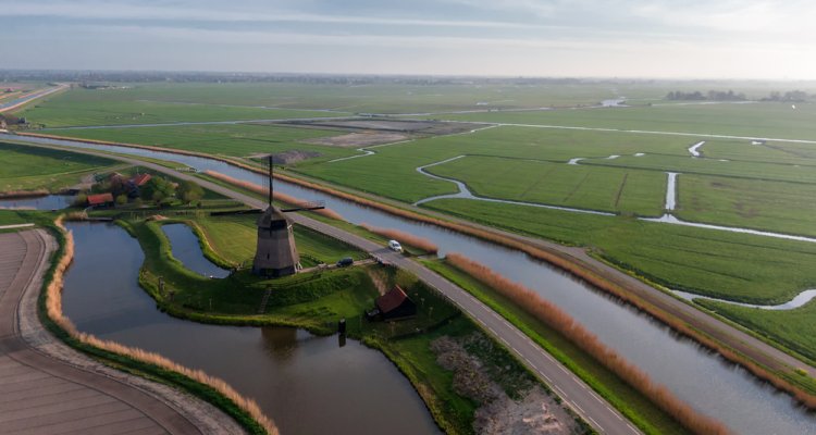
De Geomorfologische kaart van Nederland 1:50.000 is een landsdekkend digitaal kaartbestand dat de in Nederland voorkomende landvormen beschrijft en ruimtelijk weergeeft. De landvormen worden beschreven naar vormkenmerken, relief, genese en ouderdom.
Geomorfologie is de wetenschap die zich bezig houdt met het bestuderen van de vormen van het aardoppervlak en de processen die bij het ontstaan daarvan een rol spelen of hebben gespeeld. De Geomorfologische kaart van Nederland 1:50.000 beschrijft de in Nederland voorkomende landvormen. De Geomorfologische Kaart van Nederland is in de periode 1960-2004 tot stand gekomen. In deze periode zijn verschillende karteringesmethoden gebruikt. Tevens is als gevolg van landgebruiksveranderingen de kaart niet meer actueel.
Doel van de actualisatie van de Geomorfologische kaart van Nederland is een actuele en topografisch juiste weergave van de geomorfologie van Nederland gebaseerd op actuele wetenschappelijke kennis met een toegankelijke legenda die aansluit bij de kennisbehoeften opgaven van de gebruiker.
Het actualiseren is een semi-automatisch proces van digitaliseren van landvormen op basis van een digitaal terreinmodel (AHN) en machine learning (ML). De hulpinformatie wordt gebruikt om zichtbare patronen in het DTM te interpreteren naar landvormen die gevormd zijn door actieve processen of geomorfologische processen in het nabij of verre verleden zoals: eolische-, marien-, of fluviatiele erosie en sedimentatie, glaciale processen, denudatie, tektoniek , organogene processen of een antropogene ontstaanswijze.
Bij de actualisatie zal gebruik gemaakt worden van een actuele topografische basis (TopNL) en de BRO-ondergrondmodellen GeoTOP en bodemkaart.
Geomorfologie richt zich op de actualisatie in een nieuw gebied, afgestemd op de actualisatie van de Bodemkaart en de vragen die binnenkomen.
Publicaties
-
Basiskaarten en hydrofysische gegevens van het natuurlijke systeem: actualisatie in het stroomgebied van de Raam (waterschap Aa en Maas)
Wageningen: WOT Natuur & Milieu (WOT-rapport 163) -
Bodemkaart en Geomorfologische Kaart van Nederland: actualisatie 2020-2021 en toepassing : deelgebieden Gelderse Vallei-Zuid en -West en Veluwe-Zuid
Wageningen: WOT Natuur & Milieu (WOt-rapport 134)