
Project
Model: Grondwaterspiegeldiepte (WDM)
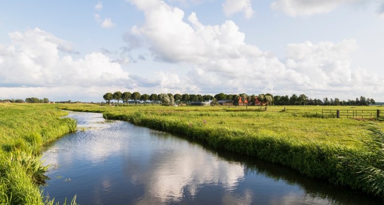
The aim of this project is to make up-to-date maps of the average highest groundwater level (GHG), average lowest groundwater level (GLG) and water table class (Gt) in the low-lying Holocene area in The Netherlands and to quantify the accuracy of these maps.
The aim of this project is to make up-to-date maps of the average highest groundwater level (GHG), average lowest groundwater level (GLG) and water table class (Gt) in the low-lying Holocene area in the province North Holland. In 2021 usefull data will be collected via a desktop study and fieldwork will be planned. The fieldwork will take place in march and september 2022. All deliverables will be finished in the first quarter of 2023.
Publications
-
Basisregistratie Ondergrond-Gd-kartering Laag-Nederland 2018 : Provincie Flevoland
Wageningen: WOT Natuur & Milieu (WOt-technical report 145) -
Kartering grondwaterspiegeldiepte in laag Friesland : Actualisatie van een deel van het grondwaterspiegeldieptemodel van de Basisregistratie Ondergrond (BRO)
Wageningen: WOT Natuur & Milieu (WOt-rapport 131) -
Mapping water table depths in wetlands and polder areas by probability sampling
Geoderma (2022), Volume: 422 - ISSN 0016-7061 -
Kartering grondwaterspiegeldiepte in de provincie Flevoland : Actualisatie van een deel van het Grondwaterspiegeldieptemodel (WDM) voor de Basisregistratie Ondergrond (BRO)
Wageningen: WOT Natuur & Milieu (WOt-rapport 153)