
Project
Remote sensing natuurgebieden 2020
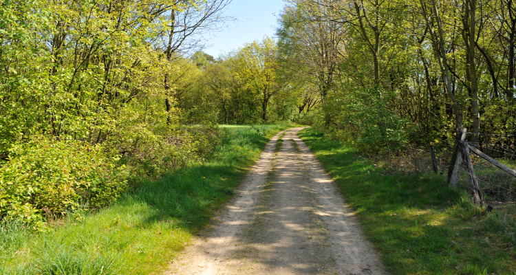
A study will be conducted into the current possibilities of remote sensing for monitoring nature areas. In recent years, enormous progress has been made in the detail of satellite imagery and the techniques used for image interpretation. The potential of using these RS techniques can help improving nature monitoring in the Netherlands.
In recent years, enormous progress has been made in the use of satellite data for all kinds of policy and implementation issues. This is partly due to an enormous decrease in the cost of satellite data, the much better availability and accessibility of the satellite data, the much higher computing power of computers for processing the data and the emergence of Artifical Intelligence (AI) to train algorithms with satellite data and additional data sources for e.g. image classification and object detection.
In the Netherlands, we are using nature monitoring for various purposes, such as reporting on the targets of Birds and Habitats Directives. A promising form of this is the possibilities for remote sensing to monitor the structure and function of nature reserves (Diaz-Delgado and Mücher, 2019; Mücher et al., 2017, Mücher et al., 2015; Skidmore et al., 2015).
In addition, the current rapid development in remote sensing imagery & techniques, including very high resolution images (see for example Superview in https://www.satellietdataportaal.nl), open-source Copernicus Sentinel satellite images with high temporal resolution, LiDAR highly detailed altitude files ( AHN.nl) and drones, in combination with other data sources and deep learning techniques (machine learning).
The potential of the use of these techniques can improve and support nature monitoring in the Netherlands (mainly in terms of structure) and thus provide more information to policymakers, on the one hand as input for the (mandatory) reports and on the other hand as input for policy development.
Publications
-
Less is more
Stratiotes (2022), Volume: 58 - ISSN 0928-2297 - p. 3-4. -
Remote sensing for nature monitoring
Wageningen: Wageningen Environmental Research (Report / Wageningen Environmental Research 3271) -
EXPERT - een algoritme om vegetatieopnamen toe te delen aan plantengemeenschappen
Stratiotes (2023), Volume: 60 - ISSN 0928-2297 - p. 43-56.