Project
Delta Ateliers, Touch Table application and the Delta Atlas
Bangladesh is the largest delta of the world and faces major interrelated delta challenges in water safety, food security an socioeconomic development. For that reason, in close cooperation with Dutch experts, Bangladesh is working towards the Delta Plan 2100: an integrated and holistic long term vision. Wageningen Environmental Research is engaged in the development of the Delta Plan 2100 by organising Delta Ateliers and the development of the Delta Atlas.
Geo-spatial participatory planning tools to support the Bangladesh Delta Plan 2100
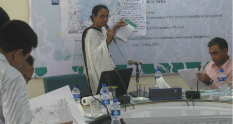
The Delta Atelier approach has been used to jointly develop an adaptation strategy. During the ateliers, local stakeholders gave not only reflections and complemented the outcomes of the baseline studies (problem statement), but also worked together on potential (integrative) solutions. This provides valuable input and a first step towards strategies.
The Touch Table and the Delta Atlas were used to store and visualize spatial data on climate (change). The Touch Table connects to the Deltaportal. This portal contains all relevant spatial data used in the Delta Ateliers, ranging from cyclone paths to drought maps. The data is openly available over the internet. The Touch Table and Delta Atlas supported the Delta Atelier approach to achieve a clear and shared vision of the future in 2100.
Wageningen Environmental Research is engaged in the development of the Delta Plan 2100 through e.g. leading the climate change base lines study, involvement in scenario development, by organising Delta Ateliers and the development of the Delta Atlas.