News
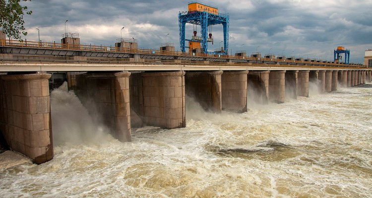
Mapping the 2023 Ukraine floods after the Kakhovka dam break, using high-resolution Planet imagery
The Laboratory of Geo-information Science and Remote Sensing helps to map the water flows after the Kakhovka dam break based on satellite and elevation data.
High-resolution and daily updated satellite imagery provided by Planet Labs enabled us to map the aftermath of the Kakhovka dam break in Ukraine, June 2023. We produced flood maps based on satellite images from different dates and elevation data. We also calculated the flooded area per land cover type. The Dutch newspaper NRC used our maps to analyze the economic, humanitarian and ecological impacts of the dam break.