
Student information
MSc thsis topic: Pan-tropical analysis of the temporal relationship of forest disturbances and precipitation
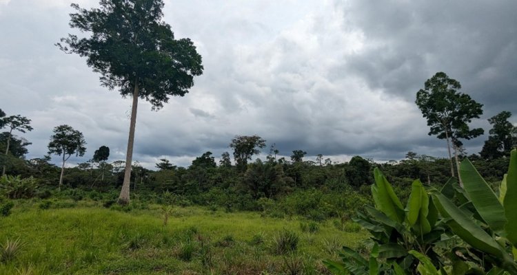
The RADD (RAdar for Detecting Deforestation) alerts offer insights into tropical forest disturbances. Leveraging data from Sentinel-1, a SAR satellite with 10m spatial detail, these alerts provide up-to-date information on tropical forest disturbances every 6 to 12 days across 50 countries since 2020/2021. The RADD alerts enable the capability to explore the relationship between forest disturbance and precipitation, especially in the tropics, optical-based disturbance alerts commonly suffer from persistent cloud cover.
Understanding the complex relationship between forest disturbances and precipitation in the pan-tropics is essential for supporting forest conservation and sustainable land management practices, especially in the face of climate change-induced alterations to precipitation trends.
Building upon the study by Gou et al. (2022), which investigated the temporal relationship between radar-based forest disturbance and precipitation in the African rainforest, this study aims to expand the study to the pan-tropics and extend the study period to four years (2020 to 2023). Comparing results found for South America, Africa and Southeast Asia may reveal unique and varying relationships, as these regions feature markedly different dominant forest disturbance types. Similar to Gou et al. (2022), this study will employ cross-correlation analysis to examine monthly time series of precipitation and forest disturbance using a 0.5° grid resolution. Moreover, additional spatial data, such as travel time to cities, fire alerts, or land cover data, will be utilized to further characterize potential causes or drivers of this relationship.
Software: Google Earth Engine, R/python, ArcGIS/QGIS
Objectives and Research questions
- Explore the temporal relationship between forest disturbance and precipitation across the pan-tropics
- Investigate and understand underlying causes or drivers of this relationship utilizing additional spatial data (e.g. accessibility data, active fire alerts, land cover, etc.)
Requirements
- Geo-scripting course
- Advanced Earth Observation
Literature and information
- https://radd-alert.wur.nl
- Reiche, J., Mullissa, A., Slagter, B., Gou, Y., Tsendbazar, N.-E., Odongo-Braun, C., Vollrath, A., Weisse, M.J., Stolle, F., Pickens, A., Donchyts, G., Clinton, N., Gorelick, N., Herold, M., 2021. Forest disturbance alerts for the Congo Basin using Sentinel-1. Environmental Research Letters 16, 024005.
Expected reading list before starting the thesis research
- Gou, Y., Balling, J., Sy, V. D., Herold, M., Keersmaecker, W. D., Slagter, B., Mullissa, A., Shang, X., & Reiche, J. (2022). Intra-annual relationship between precipitation and forest disturbance in the African rainforest. Environmental Research Letters, 17(4), 044044.
- Leblois A 2021 Mitigating the impact of bad rainy seasons in poor agricultural regions to tackle deforestation Environ. Res. Lett. 16 054003
- Aragao L E O, Malhi Y, Barbier N, Lima A, Shimabukuro Y, Anderson L and Saatchi S 2008 Interactions between rainfall, deforestation and fires during recent years in the Brazilian Amazonia Phil. Trans. R. Soc. B 363 1779–85
- Information on types of tropical forest disturbances and precipitation regimes in the pan-tropics.
Theme(s): Sensing & measuring; Integrated Land Monitoring