
Thesis subject
MSc thesis topic: Using satellite images to assess the impact of crop rotation on soil quality
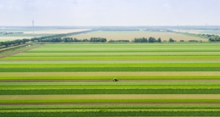
Maintaining healthy soils is essential for successful crop growth and yield, and to ensure sustainable food security for a growing population. Soil quality is essential for ecosystem functioning, and it is influenced by crop rotation and related agronomic practices; thus, it is crucial to understand the crop-soil relationships to improve productivity and decrease the environmental impact of agricultural systems. Several field-based studies have focused on crop rotations and their impact on soil quality. However, an approach for assessing these processes at a landscape scale is still missing. The use of high-resolution (10x10m) satellite images, with an available database starting from 2016, presents an opportunity to study the relationship between crop rotation and soil quality trends in a spatial-temporal explicit way.
Attention has been raised on which crop rotations can have a positive impact on soil quality: the latest research supports the hypothesis that increasing spatial and temporal agro-biodiversity is a promising solution to enhance positive plant-soil feedback and ecosystem services. Yet, an approach to monitor and design these processes at the landscape level is still missing. Traditional experiments to study this critical issue account only for experimental fields, therefore suffering from limited spatial coverage. Thanks to the advancement in sensor technology and computational power, global open-access high-resolution multispectral images (10x10m) are made available by the European Space Agency (ESA) and collected in a multi-year database, starting from 2016.
Relevance to research/projects at GRS or other groups
This thesis research will be a collaboration with the Soil Biology Group of WUR: Gerlinde de Deyn and Nikos Vavlas (postdoc)
Objectives and Research questions
This study will exploit the Planet high-resolution satellite constellation and the European Space Agency’s Sentinel 2 satellite data to: (i) identify crop rotations through classification of multi-temporal data, and (ii) analyse the effects of crop rotation on soil quality trends by overlaying the digital soil map and crop rotation classes at the landscape scale. Additionally, the study investigates how accurately the trends in soil quality can be quantified using satellite images. The aim of this study is to evaluate if the hypothesis from small-scale experiments on the effects of crop rotation on soil quality can be tested on a larger, landscape scale.
Requirements
- Interest in large-scale processing of satellite S2 processing (in GEE for example)
- Interest in environmental science/soil science
Literature and information
- Jänicke, C., Goddard, A., Stein, S., Steinmann, H. H., Lakes, T.,
Nendel, C., & Müller, D. (2022). Field-level land-use data reveal heterogeneous crop sequences with distinct regional differences in Germany. European Journal of Agronomy, 141(July). - Mariotte, P., Mehrabi, Z., Bezemer, T. M., De Deyn, G. B., Kulmatiski, A., Drigo, B., Veen, G. F. (Ciska., van der Heijden, M. G. A., & Kardol, P. (2018). Plant–Soil Feedback: Bridging Natural and Agricultural Sciences. Trends in Ecology and Evolution, 33(2), 129–142.
Expected reading list before starting the thesis research
- Zhang, Y., Sui, B., Shen, H., & Ouyang, L. (2019). Mapping stocks of soil total nitrogen using remote sensing data: A comparison of random forest models with different predictors. Computers and Electronics in Agriculture, 160 (March), 23–30.
Theme(s): Sensing & measuring; Integrated Land Monitoring