Student information
MSc thesis topic: Mapping the history of logging road developments in Congo Basin forests with satellite imagery
The Congo Basin forests have experienced high rates of logging road constructions in the last decades, built to access and selectively harvest valuable tree species. Logging roads have crucial impacts on tropical forests, because they open up remote areas for potential unauthorized activities such as agricultural development and poaching. New road constructions in intact forests should be avoided, and logging companies are encouraged to reopen and reuse old logging road networks in previously logged forests as much as possible Additionally, for sustainable logging practices, these previously logged forests should be left to recover for at least 25-30 years before reopening them for a new timber harvest.
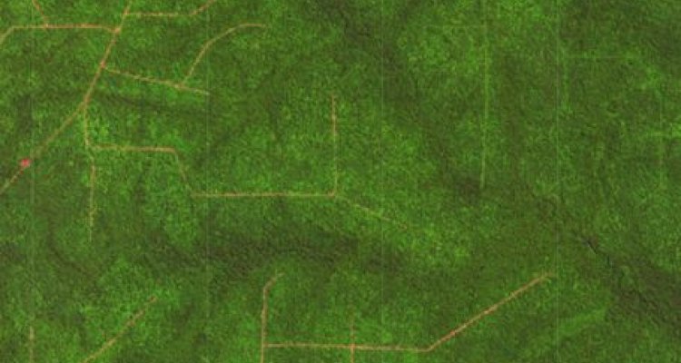
It is crucial to map and understand these road dynamics to assess the sustainability of timber harvests in managed forests. We have recently mapped new logging road development across the Congo Basin at high spatial detail using Sentinel data for the period 2019 – 2022. Still, many of these mapped roads have existed for decades already, and it is largely unknown where logging companies are constructing entirely new roads, opening up intact forests, and where they are reopening old logging roads. It is also important to understand when reopened roads were established in the first place (e.g. 20 years ago), which is crucial information to study the sustainability levels of timber harvest cycles in managed forests.
This thesis will focus on exploring historical archives of Landsat and Sentinel-2 data to study the history of recently constructed or re-opened roads in the Congo Basin forests. It hypothesized that that near- and shortwave-infrared reflectance reveals different patterns for locations with old overgrown roads, revegetating roads, and newly constructed roads, and this information can be of great value to distinguish them from each other. Existing road development maps produced by the GRS group will be used as a basis, complemented with Sentinel-2 and/or Landsat imagery.
Objectives and Research questions
- Exploring patterns of spectral reflectance at locations with new road constructions, road abandonment/revegetation, and road reopening.
- Assess the use of optical satellite imagery to map subcanopy historical logging road networks
Requirements
- Remote sensing
- Knowledge in R, Python or GEE
Literature and information & Expected reading list before starting the thesis research
- Laporte et al 2007: Expansion of industrial logging in Central Africa, Science
- Kleinschroth et al 2015: Legacy of logging roads in the Congo Basin: how persistent are the scars in forest cover? Ecosphere
- Kleinschroth & Healy 2017: Impacts of logging roads on tropical forests? Biotropica
- Potapov et al 2017 - The last frontiers of wilderness: Tracking loss of intact forest landscapes from 2000 to 2013, Science
- Kleinschroth et al 2019: Road expansion and persistence in forests of the Congo Basin, Nature Sustainability
Theme(s): Sensing & measuring