Student information
MSc thesis topic: Exploring forest regrowth dynamics in the Peruvian Amazon using temporal analysis of remote sensing data
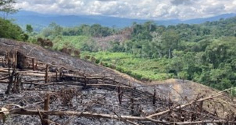
Conserving primary forests has to be combined with forest recovery efforts by the people who live in forest landscapes. Amazonian forest landscapes have a long history of occupation and management through traditional smallholder practices that integrate forest and agriculture in swidden systems. A swidden landscape is in a constant transition between primary forest, and/or secondary forest regrowth (i.e. tree fallows) and temporal agricultural fields. This MSC topic is particularly interested in the dynamics of the regrowth of the secondary forests.
Secondary forest regrowth accounts for 70% of tropical forest areas, support significant populations of poor people and will have to provide a significant part of future forest based environmental services. However such forest vegetation is almost invisible policy work and their diversity and potential have been highly neglected in research.
This MSC topic is linked to an interdisciplinary research project that is exploring secondary forest landscapes and their role in local livelihoods in the region San Martín in the Peruvian Amazon and will feed into that project by building a better understanding of vegetation cover changes in the study area with a particular focus on the secondary forest dynamics in ten different smallholder landscapes.
For this thesis, we provide the GPS coordinates of the 10 indigenous villages. Further analysis can be done with Google Earth Engine.
Relevance to research/projects at GRS or other groups
- This MSc thesis will be supervised by one supervisor from WU and one supervisor from SLU (the Swedish University of Agricultural Sciences, also the project leader of the research project) and be part of the larger project team discussions on forest dynamics.
Objectives and Research questions
- To quantified overviews of land cover changes around 10 indigenous villages in a district in Peru from the 60s and up to today.
- To explore remote sensing methodologies to identify different categories of secondary forest in the landscape through time series analysis.
Requirements
- Advanced Earth Observation course
- Geo-scripting course.
- A lot of creativity.
Literature and information
- Pain A, et al. (2020). What is secondary about secondary tropical forest? Rethinking forest landscapes. Special issue on Secondary Forest in Human Ecology.
- Marquardt K, et al. (2019). Forest dynamics in the Peruvian Amazon – understanding processes of change. Small-scale Forestry. 18(1), pp 81-104. https://doi.org/10.1007/s11842-018-9408-3
- Masolele, R.N., et al. (2024). Mapping the diversity of land uses following deforestation across Africa. Sci Rep 14, 1681.
- Descals, A. et al. (2021). High-resolution global map of smallholder and industrial closed-canopy oil palm plantations. Earth Syst. Sci. Data 13, 1211–1231.
- Masolele, R. N. et al. (2022). Using high-resolution imagery and deep learning to classify land-use following deforestation: a case study in Ethiopia. GISci. Remote Sens. 59(1), 1446–1472.
Expected reading list before starting the thesis research
- Provided literature list above
Theme(s): Modelling & visualisation, Integrated Land Monitoring