Thesis subject
MSc thesis topic: Domain adaptation for mapping commodity crops in Africa
Earth observation data, cloud computing, and artificial intelligence offer an automated way to monitor climate change challenges [1]. However, there is a lack of reference data to make accurate and timely predictions. This raises the question of whether prediction in label-scarce regions could be improved if each model was to benefit from knowledge contained in all datasets [2,3].
Modern data collection procedures are less structured than field visits, making it difficult to estimate the probability. To target specific land-use distributions over countries, reference labels are needed [3]. Unlabeled data from target domain countries can be collected, but labels are more difficult to obtain [4]. Deep learning methods can learn from source data to generalize well to target data.
Deep learning models have succeeded in many remote sensing computer vision task however they struggle to generalize across multiple geographies and thematic domains [1]. Domain adaptation have been proposed as the possible solution to this challenge[4]. In order to target specific land-use distributions over countries, henceforth referred to as domains, we need at least some reference labels. Unlabeled data from a target domain countries can usually be collected, but labels are more difficult to obtain. Nevertheless, unlabeled data gives an indication in what way a source domain and a target domain differ from each other. This information can be exploited to make a classifier adapt, i.e. change its decisions such that it generalizes better towards the target domain[5].
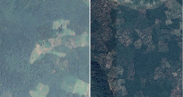
In this thesis you will develop a domain adaptation based deep learning model to characterize five commodity crops (cashew, coffee, cacao, oil palm, and rubber) that are spatially distributed in seven countries (Ghana, Ivory Coast, Gabon, Tanzania, Ethiopia, Kenya and Mozambique) using Sentinel-2 data. Then, you will, train, validate and compare the model results with the traditional deep learning model of similar architecture.
Software: Tensorflow, Pytorch (python) and Google Earth Engine
Objectives
- Literature on domain adaptation
- Collect images of land use with labels and without labels
- Train and test a deep learning model with and without domain adaptation for identifying commodity crops
- Perform accuracy assessment of the model with and without domain adaptation
Literature
- Masolele., et al. " Spatial and temporal deep learning methods for deriving land-use following deforestation: A pan-tropical case study using Landsat time series” (2021).
- Tseng, et al. " Learning to predict crop type from heterogeneous sparse labels using meta-learning” (2021).
- Rußwurm, et al. " Meta-Learning for Few-Shot Land Cover Classification” (2020).
- Kouw, et al. " A Review of Domain Adaptation without Target Labels” (2021).
- Ganin, et al. " Domain-Adversarial Training of Neural Networks” (2016).
Requirements
- Advanced Earth Observation course
- Machine learning course
- Geo-scripting course (Good knowledge in scripting is an asset; e.g. python, Google Earth Engine, and java script)
Theme(s): Sensing & measuring; Modelling & visualisation