Colloquium
The use of LiDAR data in the acquisit ion of information about the habitat preferences of woodpeckers
By Juriaan Rijsdijk
Abstract
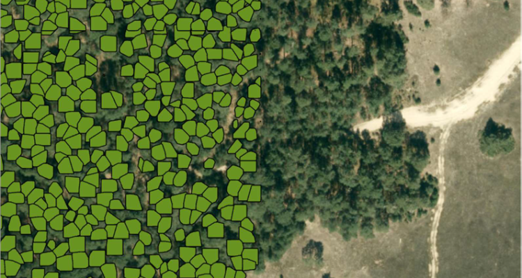
Variables used in ecological models usually concern aspects such as climate, soil and land cover. However, the structure of vegetation is a factor that is less commonly taken into account. Devices that have been used often so far to acquire vegetation data are multispectral imagery and synthetic aperture radar. Nevertheless, with the development of Light Detection and Ranging (LiDAR), vegetation could be mapped in more detail. In this thesis, it was researched how LiDAR data can be a valuable addition to ecological research into five different woodpecker species: the black woodpecker, great spotted woodpecker, middle spotted woodpecker, lesser spotted woodpecker and green woodpecker. In order to get more insight into these preferences, 14 different metrics representing aspects of vegetation structure were calculated from LiDAR point clouds. Three different types of metrics were calculated. At first, metrics were calculated that give information about the vertical complexity of vegetation, such as the standard deviation of vegetation height. Moreover, metrics were made that give information about the horizontal heterogeneity of vegetation, such as vegetation roughness. The third category is less commonly used in research. Namely, metrics were calculated with the use of polygons representing tree crowns, such as the distance to the forest edge. The metric values extracted at the locations of woodpecker observations were used in Maxent models in order to acquire information about the habitat preferences of woodpeckers. At first, one Maxent model was run with the observations of all five woodpecker species combined as input. The main results showed that the 95th percentile of vegetation height had the biggest importance and that the woodpecker family prefers trees that are taller than the average tree in the study area. Thereafter, a separate Maxent model was run for each woodpecker species in order to get more insight into the different habitat preferences of the species. The results showed several similarities, such as that the 95th percentile had the biggest variable importance for each species. The biggest difference that was found was that the results of the middle spotted woodpecker, lesser spotted woodpecker and green woodpecker showed that they have a preference for the edge of the forest, whereas no preferences were observed for the black woodpecker and great spotted woodpecker. Overall, this research has shown that LiDAR data can be a valuable addition to ecological research into woodpeckers. Moreover, the methodology used in this research could be an example of how LiDAR data can be used in ecological research into bird species in general. In future research, certain metrics could be improved in order to become more reliable for deriving information about vegetation structure that is relevant for woodpeckers. Moreover, Maxent models could be run with absence points instead of background points in order to increase the accuracy of the models. Namely, even though the accuracy values of the models used in this research were sufficient, there is still uncertainty about the reliability of the accuracy assessment, as the use of background points can lead to the model showing a lower accuracy than actually is the case.