Colloquium
Classification of temporary micro-ponds using indices derived from Sentinel-2 imagery
By Silas Nagtzaam
Abstract
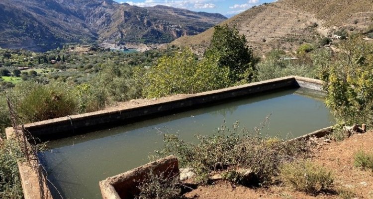
Vertebrate species have seen a steady decline in abundance since the 1970’s, partly attributed to human-wildlife conflict due to an increase in anthropogenic structures. Some species select these structures as they may be perceived to have positive effects on overall fitness, but in reality, they cause a decline, forming an ecological trap. Such a trap is suspected regarding the choice amphibians have in selecting between an artificial or (semi) natural breeding pond in the mountainous region of Sierra Nevada, Spain, where choosing artificial ponds (basins) seems to result in an increase in mortality and/or decrease in reproductive fitness. Ponds in this region are often only temporarily filled, the result of a dry summer period, which makes locating ponds at the right time crucial. However, due to rough terrain this proves to be challenging and time consuming. Advancements in the field of remote sensing may aid in locating ponds by utilizing indices which are developed to enhance water classification, such as the Normalized Difference Water Index (NDWI). This research focused on gaining insights into the possibilities of using open-source Sentinel-2 imagery to predict pond locations. A literature review was conducted to determine often used methods for water classification. Based on those results, a Random Forest model was chosen and performed twice during each year from 2019 to 2023, once in spring and once in autumn, to classify Pond from No Pond locations. Thirteen satellite derived indices, together with original band reflectance’s and slope values were selected as parameters. The best model obtained an overall accuracy of 0.8 with an AUC of 0.8. However, overall accuracy was found to vary largely between years and between seasons, also returning near random models. Furthermore, all models experienced inaccuracies, mainly found in rivers, plantations and hillsides. These errors are thought to be the result of a lack of data combined with the limited spatial resolution of Sentinel-2. This is causing difficulties with mixed-pixels due to a large variety of factors influencing pixel values within the two classes, like vegetation density, shade and pond inundation level. In conclusion, while the results reveal some of the opportunities that lie with using Sentinel-2 data, it does not yet lead to an immediate aid in locating ponds for the ecological trap theory. However, it does bring insight to the challenges that still need to be addressed. More research is necessary such as improving satellite spatial resolution, enhancing the data set or introducing new methods, such as sub-pixel water extraction.